
Finding a Brookline Street by Address
A useful Brookline street search starts with the situs address, the property’s actual location. The Town Assessor and GIS layers connect that location to a parcel identifier, then the land records can supply a recorded ownership trail. Those records do not make a current-occupant claim. For a dated people record, compare the address with a Brookline Street List or an older directory held through the Brookline Room. The order matters because the parcel keeps a changing street number, unit, and owner name from becoming one blurred result.
- Look up the address in Brookline Patriot Properties WebPro and save the situs address, parcel ID, owner field, mailing field, sale reference, and assessment context.
- Open the Town’s GIS map or parcel service to confirm the address point and inspect the parcel polygon beside it.
- Use the owner name, town, and any legal reference as leads in the Norfolk Registry of Deeds research system. Read the deed before deciding what its parties mean.
- For a historical household snapshot, consult the Brookline Room’s Street Lists and directory materials. The Street List is address-arranged and covers people age 17 and older.
- Ask the Town Clerk or Registrars for inspectable local voter material only through the documented request route. The public individual voter-status form is not a street-wide search.
Brookline address work also has a postal check. A municipal parcel, the situs address, and a ZIP code can point in different directions near the border, so confirm the physical parcel before grouping records along a street.
Brookline Street Directory Property Fields
WebPro is the practical first record for the Brookline street directory because it offers address or owner searching and returns the property card behind a result. Its current assessment context is FY2026, while the supplied example card is FY2025. The card separates location from owner mailing address, a distinction that prevents a mailing address from being mistaken for another property or a current household. It can also show class, parcel ID, sale date and price, land and building values, building features, exemptions, taxes, a sketch, and a GIS link.
| Brookline assessor field | Search use | Interpretation |
|---|---|---|
| Address / location | Find the situs record | Use the Brookline street number and name; full live labels were not captured. |
| Owner name | Find an assessment owner record | Try spelling variants when a name is the only starting point. |
| Parcel / map-lot identifier | Anchor map and deed research | The sample format is 131-16-00; the exact live label was not fully extracted. |
| Property-card links | Open related detail | Available links can include the card, GIS, picture, sketch, and assessment history. |
The Brookline Assessor Maps page is the source for the assessor-map view shown below. It brings together an interactive parcel map, sales map, atlas book, and neighborhood-code map. Read the result as property context, not a list of everyone connected with an address.
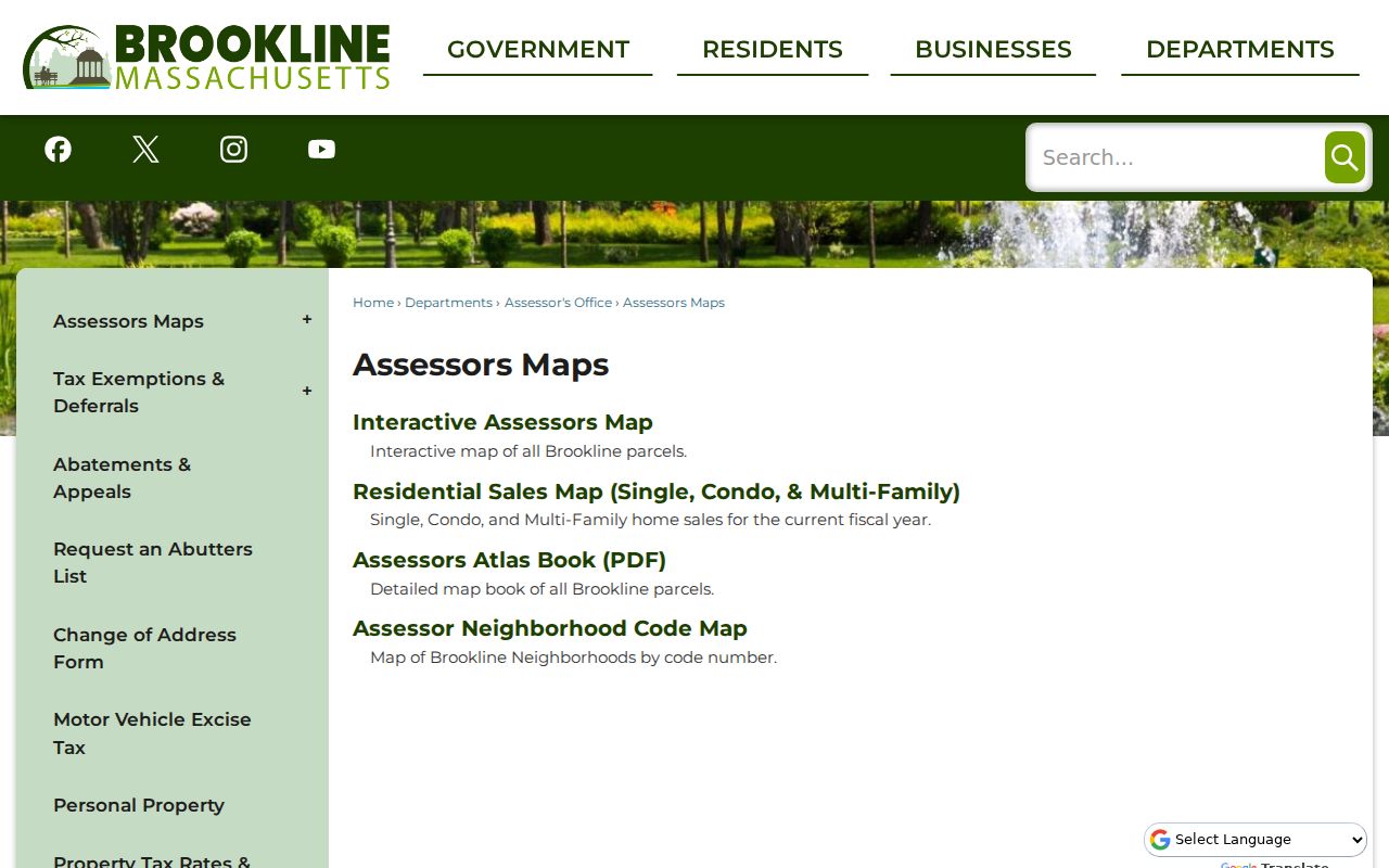
That map context is useful when the same Brookline street has several parcels, a corner lot, or a number that needs checking against the building pattern.
Brookline Streets Through Parcel Geometry
Brookline’s GIS AddressPoint and parcel services support a more careful street-by-street pass than an owner-name list. AddressPoint supplies FullAddress, SiteAddress, street parts, city, state, ZIP, unit where present, and parcel association. The parcel service adds owner and co-owner fields, separate mailing fields, land and finished area, sale date and price, grantor, values, and polygon geometry. Start with the address point, then follow its parcel ID to the polygon. The service supports query expressions, order, statistics, pagination, and GeoJSON, but a response is capped at 1,000 records.
Normalize the suffix and any directional prefix before browsing a Brookline street. Inspect units separately where they exist, and compare each parcel result to the matching assessment card. The map can identify nearby polygons through geometry, extent, or distance queries. No official one-click public buffer control was found, so describe the result as map adjacency rather than a guaranteed radius search.
- Parcel
- A defined piece of land tracked by an identifier, boundary geometry, and assessment record.
- Situs address
- The physical location attached to the parcel, distinct from the owner’s mailing address.
- Plat or plan
- A recorded survey or subdivision drawing that can clarify frontage, boundaries, and road edges.
- Criss-cross directory
- An address-arranged directory used to move from a street address toward a historical name.
The Brookline Patriot Properties WebPro search is the source shown below. Its property-card path should be used with the parcel layer when an address result needs map context.

The Patriot Properties search view reinforces why the owner and mailing fields should be read as assessment data before they are connected to any street-directory conclusion.
Brookline Street Records by Address
Address-keyed sources overlap, but they do not mean the same thing. The assessment card supplies current property context. GIS supplies the mapped relationship among addresses and parcels. Deeds record transfer parties and legal descriptions. A Street List supplies a year-specific address-arranged people record, while the City Directory can provide an intermittent historical name-and-address layer. Keep date, source, and the exact label shown in separate notes when building a Brookline street directory trail.
| Brookline street source | Custodian | What it can show | Access channel |
|---|---|---|---|
| Assessment property card | Town Assessor | Owner, mailing address, situs, parcel ID, sale and building context | Free WebPro search; Assessor office, Room 215 |
| Parcel and address layers | Town GIS | Address points, parcel geometry, owner and mailing fields | Public map/REST service; GIS at 11 Pierce Street |
| Recorded Land and Land Court | Norfolk Registry of Deeds | Grantor, grantee, deed details, plans, and recorded ownership trail | Online, Dedham customer center, phone, mail copy, or records request |
| Street List | Registrars and Brookline Room | Address-arranged persons 17 and older, birth year, and occupation | Library and historical sources; request local records through the custodian |
| Permit activity | Town Building Department | Publicly available permit context by address | Town route and Accela link; exact live portal fields were not captured |
The parcel ID ties the Brookline assessment and GIS records together. The deed may use a legal description instead of a street number, so compare both. The Town’s public-records request route is the fallback for a defined municipal record that is not exposed online. A written request should state the record, date range, and preferred format; exemptions, redactions, and fees can still apply.
Brookline Street Deed Trails
The Norfolk Registry’s recorded-land index and images reach from 1793 forward. A Brookline street search can begin with the present owner or address, but the recorded party must be read as a party to a conveyance, not as a current occupancy finding. Find the most recent deed, note the grantor and grantee, book and page or document number, recording date, deed type, legal description, and image link. Then use the prior grantor as the next name for a backward search.
Recorded Land and Land Court are separate systems. Land Court records begin in 1900 and account for about one-fifth of the Registry’s property records, so a no-result in Recorded Land is a prompt to check the Land Court index rather than a reason to stop. Registry plans can also be searched by street, owner, plan number or year, Book/Page, and surveyor. They can explain a subdivision, parcel shape, access, or road edge that a modern map leaves unclear.
Online viewing is free, and printed online documents carry a “Not an Official Copy” overlay unless a free login is used for clean-image printing. The Registry lists a $1-per-page document charge and a $100 annual subscription for its described printing option. A certified copy can be obtained at the Dedham customer center for $1 per page, or by mail for $2 for the first page plus $1 for each additional page or document, with certification requested. These are Registry-stated charges and should be confirmed before ordering.
Note: A Brookline recorded deed documents a land transaction, so pair it with an address-arranged source when the question is historical household presence.
Brookline Street Lists Since 1891
Brookline Street Lists are the closest local people record to an address-arranged directory. The Town’s Registrars maintain the annual list for persons age 17 and older, and the historical run begins in 1891. General Laws chapter 51, section 4 describes fields such as name, date of birth, occupation, veteran status, nationality for a noncitizen, residence as of January 1, and age three and older. Public-inspection rules are narrower for people under 17 and other protected information remains separate.
The Brookline Room brings Street Lists together with city directories, Blue Books, transfer directories, maps, newspapers, yearbooks, and local indexes. That makes it the better stop when a modern property result needs a dated address match. The library and historical material can also show that a year is missing or a source is intermittent. An empty result is not proof that a person never lived on the street.
For modern voter information, the state’s public-voter-information rules distinguish inspectable fields from protected phone, email, confidential-voter, public-safety, and related data. The individual voter-status tool requires the person’s first and last name, date of birth, residential ZIP, and an individual-use agreement. It does not provide a name-only or street-wide public result.
Brookline Street Names Across Eras
Older Brookline records can use a road name, a later accepted street name, or a prior number. Worcester Turnpike became known as Boylston, Cross Street became Hammond in 1855, and local history connects Mill Dam Road, Harvard Avenue, Brookline Avenue, Longwood Avenue, and the town-line development history to changing address references. Search the old and current forms in deeds, directories, newspapers, maps, and atlases instead of assuming that a modern number is the only key.
There is a specific renumbering lead for Brookline Avenue and Longwood Avenue. Historical Society material reports that buildings were renumbered two years after an 1890 Blue Book reference to align addresses across the Boston town line. Treat that report as a lead, then verify the volume or map before making an exact old-number to modern-number conversion. Harvard Avenue provides another reminder: 66–68 Harvard was built around 1847, moved in 1893, and followed by infill.
The official Brookline ZIP map adds a second caution. Chestnut Hill crosses Brookline, Boston, and Newton, while 02135 and 02215 appear on official Brookline maps as border postal regions. A ZIP is not a parcel or municipal boundary.
Brookline Street Permit Context
Physical-change records can help explain a Brookline street result, but they are not a resident directory. The Town’s Building, Plumbing, Gas, Electrical, Sprinkler, and Mechanical permit categories lead to the public permit route and Accela. The link was available during research, although its live form labels and result fields could not be extracted because the portal returned a 403 response. That gap is a reason to use the Town contact route or a defined records request rather than guess what a result screen will show.
The Town’s Code Enforcement, Inspections and Permits page is the source behind the public permit route shown here. Plans, assessor atlases, and Sanborn sheets can provide a second layer of building and block context. They can show physical change or a street label, but they should not be used to assert who was present at an address.
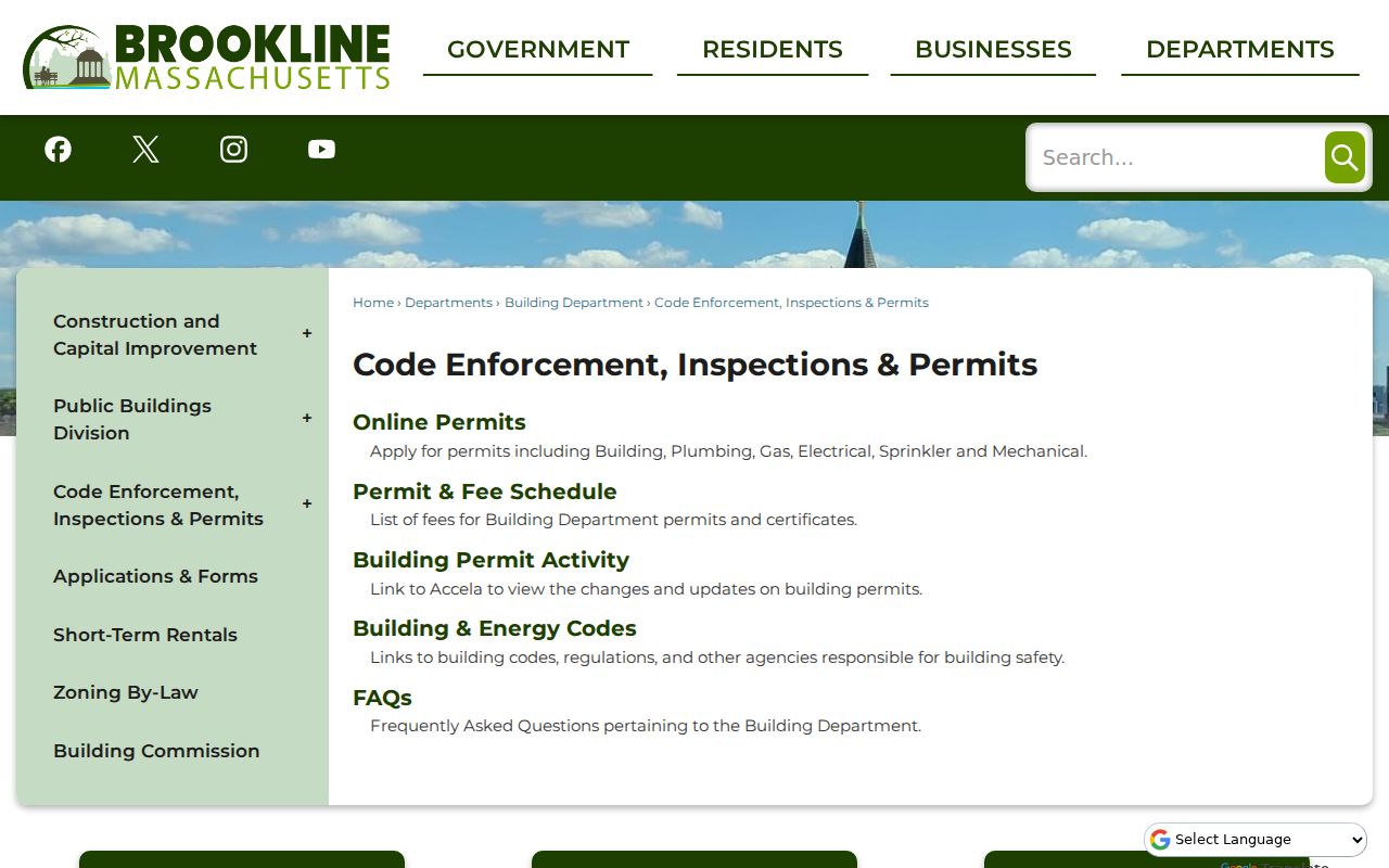
Use permit context to date an alteration or narrow a records request, then return to the parcel, deed, and Street List trail for the address-specific evidence.
Brookline Street Research Access
Online channels cover the assessor, GIS, Registry research, Town permit route, and municipal public-records request. When an online record is incomplete, Brookline has defined in-person alternatives: the Assessor is in Town Hall Room 215, GIS is at 11 Pierce Street, the Town Clerk is in Room 104, and the Brookline Room holds the address-arranged historical materials. The Norfolk Registry customer center in Dedham, its phone support, and its mail-copy route provide land-record alternatives.
For a municipal record not published online, request a specific street or parcel, date range, and format through the appropriate custodian. For a deed or plan, use the Registry’s public-records form or customer center. For older addresses, consult Street Lists, directories, maps, and newspapers through the library and archives. The Brookline Historical Society collections add people, streets, places, family, photograph, and atlas material when the address trail moves beyond current GIS.
Note: Keep the source date beside every Brookline street result, because an assessor card, deed image, map, and Street List each describe a different moment.
Limits of a Brookline Street Directory
A Brookline street directory can identify public property and historical address records, but it cannot turn those records into a full list of current people at an address. Assessor and deed records identify recorded owners and mailing details, not every person connected with the parcel. Court, police, juvenile, sealed, impounded, and expunged material has its own access rules. RMV personal information is also limited by the federal Driver’s Privacy Protection Act and Massachusetts procedures.
Massachusetts maintains an Address Confidentiality Program for qualifying survivors who have relocated and need a substitute address and mail forwarding. The program does not erase every earlier disclosure, but a protected address should not be pursued through public-record searching. Voter records also withhold confidential-voter, public-safety, phone, email, and related protected fields. A denial or redaction is not proof that the underlying event or person does not exist.
Lawful use. Brookline street and address records support personal research, family history, civic curiosity, and property questions. Do not use any record to stalk, harass, intimidate, or harm another person.