
Brookline ZIP Code Directory Coverage
Brookline has three core postal ZIP codes: 02445, 02446, and 02467. The Town’s own Brookline sources also show two border postal regions, 02135 and 02215, which should not be treated as core Brookline ZIPs. A fourth number, 02447, occurs in Brookline Town P.O. Box mailings but was not located as a general street ZIP in the USPS city lookup. The distinction is practical. A Brookline street location, a postal delivery label, a municipal parcel, and a P.O. Box address are separate pieces of information.
| Postal code | Brookline role | Post office or check | Directory caution |
|---|---|---|---|
| 02445 | Core Brookline Village and southeast-central pattern | Brookline Village location | Village retail and P.O. Box service has a current USPS disruption notice |
| 02446 | Core northern and central pattern | Brookline Post Office, 1295 Beacon Street | Verify individual street delivery with USPS |
| 02467 | Chestnut Hill postal address | Chestnut Hill Post Office area | Crosses Brookline, Boston, and Newton |
| 02447 | Observed municipal P.O. Box mailing code | Town mailing forms | Not a verified general street neighborhood code |
| 02135 | Brighton and Boston border appearance | USPS street lookup | Not a core Brookline ZIP |
| 02215 | Boston postal region near the north boundary | USPS street lookup | Not a core Brookline ZIP |
The 2009 Brookline GIS map and a 2025 Brookline draft map both show this border complexity. The draft survey numbers are a survey result, not an official population split. For any Brookline directory row, retain both the municipal location and postal city or ZIP rather than using either label as a replacement for the other.
Brookline ZIP Code Boundary Traps
Chestnut Hill is the clearest Brookline ZIP code trap. It is a postal address spread across Brookline, Boston, and Newton, so the 02467 label cannot determine municipality. The same caution applies when 02135 or 02215 appears near the Town edge. Brookline sources recognize those border appearances, but the official municipal FAQ identifies 02445, 02446, and 02467 as the core group. A map boundary is also not the same as a carrier route or a parcel boundary.
Compare four values each time: situs address, parcel municipality, postal city and ZIP. The situs is the physical property location. The parcel identifies the land record. The postal city and ZIP are mailing conventions. A mailing address may be a different place altogether. Keeping these columns separate avoids turning a postal label into a mistaken municipal record.
Brookline USPS ZIP Verification
Use the complete address in USPS ZIP Code Lookup before building a Brookline ZIP-sorted list. Then compare the postal result with the Brookline AddressPoint fields, including FullAddress, SiteAddress, city, state, ZIP, parcel ID, unit, and geometry. This sequence is especially useful when a Brookline historic address has an old spelling or a current list contains a border postal code. USPS standardization decides postal delivery. Brookline municipal GIS supplies the town-side location and parcel relationship.
USPS details for the Brookline Post Office provide the official location record for the 02446 office.
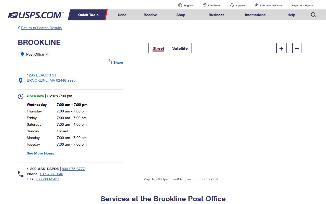
The post-office record is a useful service reference, but it does not decide the municipality of a particular address.
Find Addresses by Brookline ZIP Code
A ZIP field can narrow Brookline municipal address data, not create a resident list. The Brookline AddressPoint and Brookline parcel REST services expose address and ZIP fields, while the Brookline assessor record connects a situs address to a parcel and owner or mailing fields. An owner field is recorded property context, not proof of a current resident. The individual Massachusetts voter-status form also uses a five-digit residential ZIP, but it is limited to the person checking their own status and requires name, date of birth, and an agreement.
- Enter the complete street address in USPS ZIP Code Lookup and record the returned postal city and ZIP.
- Check Brookline AddressPoint for FullAddress, SiteAddress, unit, ZIP, parcel ID, and the Brookline map location.
- Query or browse the Town parcel layer by ZIP only after the address is normalized. Inspect parcels one at a time when needed, since the public service has a 1,000-record maximum.
- Use the assessor card, Street List, directory, or another dated source to answer a separate property or historical question. Keep the source date with the result.
When the ZIP has narrowed the area to a named street, the Brookline street directory is the appropriate route for the fuller address-keyed chain.
Brookline ZIP Fields in GIS
The Brookline REST services make their query fields more visible than many ordinary search forms. Brookline AddressPoint has FullAddress, SiteAddress, street components, city, state, ZIP, parcel ID, block, lot, subdivision, unit, class and zoning fields. The Brookline parcel service adds owner and co-owner names, separate mailing fields, land and finished area, sale date and price, grantor, values, and polygon geometry. Querying by ZIP is one filter among many. It cannot replace USPS and should not collapse owner mailing data into an address of residence.
| GIS field or control | Form | Required | Use for a postal check |
|---|---|---|---|
| FullAddress / SiteAddress | Text query | No | Compare exact street and number, including unit where present |
| ZIP | Text query | No | Municipal data slice only; confirm with USPS at border areas |
| PARCEL_ID / PARCELID | Text or numeric query | No | Connect normalized address to the parcel record |
| OWNER_NAME / CO_OWNER_NAME | Text query | No | Recorded owner context, not an address confirmation |
| Geometry, extent, distance | Map or REST parameter | No | Check where the parcel lies against municipal geography |
| Output format | REST selection | No | GeoJSON, pagination, ordering, statistics, and distinct query options |
The parcel service supports pagination, ordering, statistics, distinct queries, and GeoJSON. Those tools help organize municipal data, but a parcel response has a stated maximum of 1,000 records and exact update vintages vary.
Brookline ZIP Code and Town Limits
ZIP codes are delivery geography. They do not establish Town limits, precincts, parcel lines, or an address history. Brookline has 17 precincts, with boundaries changed after the 2020 census effective December 31, 2021; a precinct should be verified rather than derived from a ZIP. For older research, do not add a modern postal code to a nineteenth-century directory or atlas entry. Preserve the street spelling and source year, then use maps, deeds, Street Lists, and directories to reconcile the address.
- ZIP and ZIP+4
- A five-digit ZIP identifies a broad delivery area. ZIP+4 adds four digits for a more specific delivery segment, not a municipal boundary.
- P.O. Box ZIP
- A mailing code used for post-office boxes. It may occur in official correspondence without identifying a normal street area.
- Unique ZIP
- A postal code assigned to a single organization or high-volume recipient. Treat one as unique only when USPS identifies it.
- Carrier route
- A mail-delivery grouping used to move mail. It can cross local patterns and does not replace a parcel or Town boundary.
Brookline Records Before ZIP Codes
Postal codes postdate much of the local Brookline historical record. Brookline city directories run intermittently from 1875 through 1968, and the address-arranged Brookline Street Lists begin in 1891. Older Brookline maps and atlases can connect a street, owner label, building footprint, and changing number. Keep Brookline address changes as research notes rather than forcing an old record into a current postal format.
Brookline Avenue and Longwood Avenue have a known renumbering lead from material following the 1890 Blue Book period, tied to Boston town-line addressing. It must be checked in the relevant volume, map, and deed before using any conversion. Older names also matter: Worcester Turnpike became Boylston, while other local records may use Mill Dam Road, Harvard Place, or a later street form. The old and new terms make better search leads than an assumed ZIP.
Brookline Postal Service Update
USPS reported a temporary suspension of Brookline Village retail and P.O. Box operations after a May 22, 2026 incident, with functions transferred to the Brookline Post Office at 1295 Beacon Street. This is an operational alert, not a ZIP-boundary change. Check the live notice before relying on hours, counter service, or P.O. Box routing.
USPS Massachusetts service alerts carry the current Brookline Village notice.
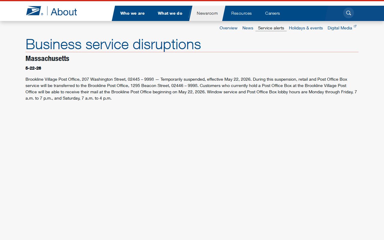
The alert explains why a postal stop should be checked live even when a ZIP code remains the same.
For a Brookline map or data-vintage question, use USPS online first, then the postal counter or phone, Brookline GIS at 617-730-2003, or the Assessor at 617-730-2060. Historical Brookline maps, atlases, directories, and Street Lists are available through the Brookline Room. A Town data request is the fallback when a needed municipal map or data copy is not online.
Brookline Address Privacy Protections
A ZIP filter does not make protected address information public. Massachusetts Address Confidentiality Program participants can use a substitute address and mail forwarding when they qualify, and that program does not erase every earlier disclosure. Confidential-voter and public-safety protections also limit particular voter fields. A public-records request cannot be used to bypass a confidentiality rule, and assessor or deed mailing fields should never be treated as a list of current residents.
Massachusetts Address Confidentiality Program information describes the substitute-address route and eligibility framework.
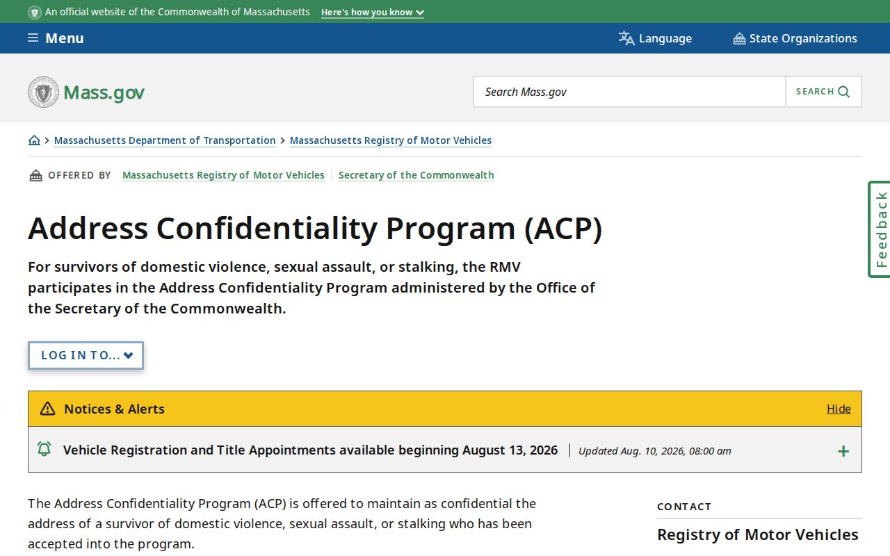
Address confidentiality is a legal protection, so an absent or substituted address is not evidence that a person has no connection to Brookline.
RMV personal information is also limited by the Driver’s Privacy Protection Act and Massachusetts rules. The RMV process requires its request form, required identification, a fee, and additional protection for highly restricted information.
Massachusetts RMV personal-information request guidance documents those separate limits.
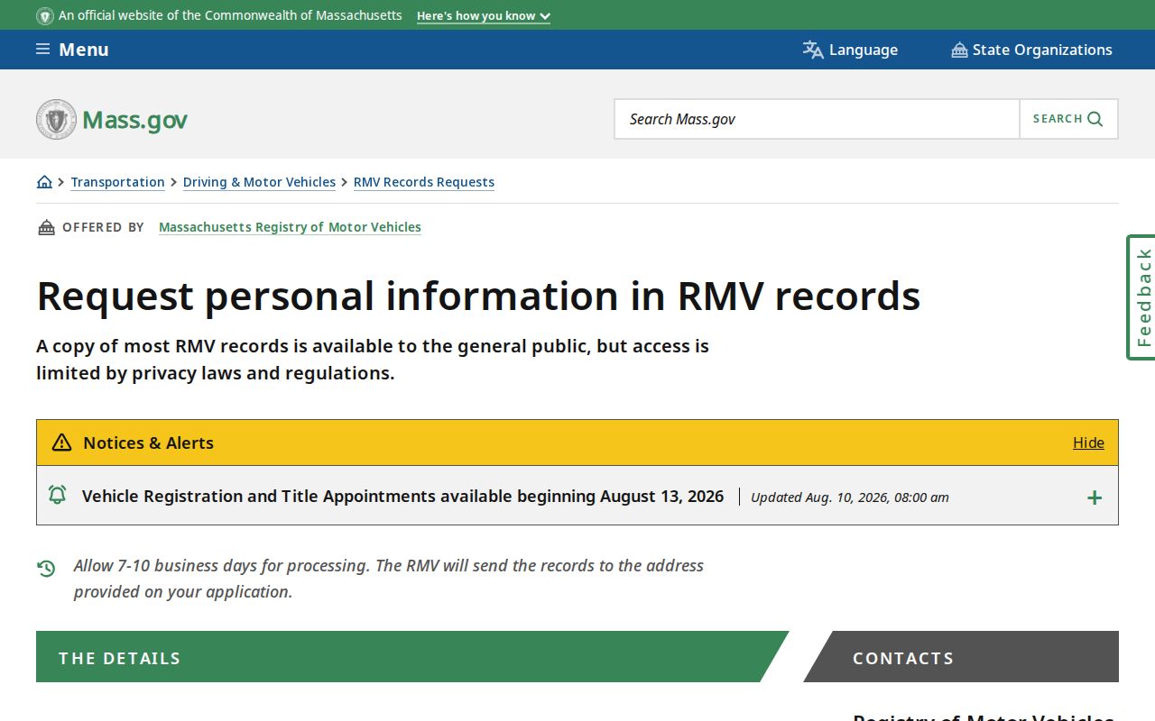
Use the postal, parcel, and privacy systems for their stated functions, and do not combine them into an unsupported person record.